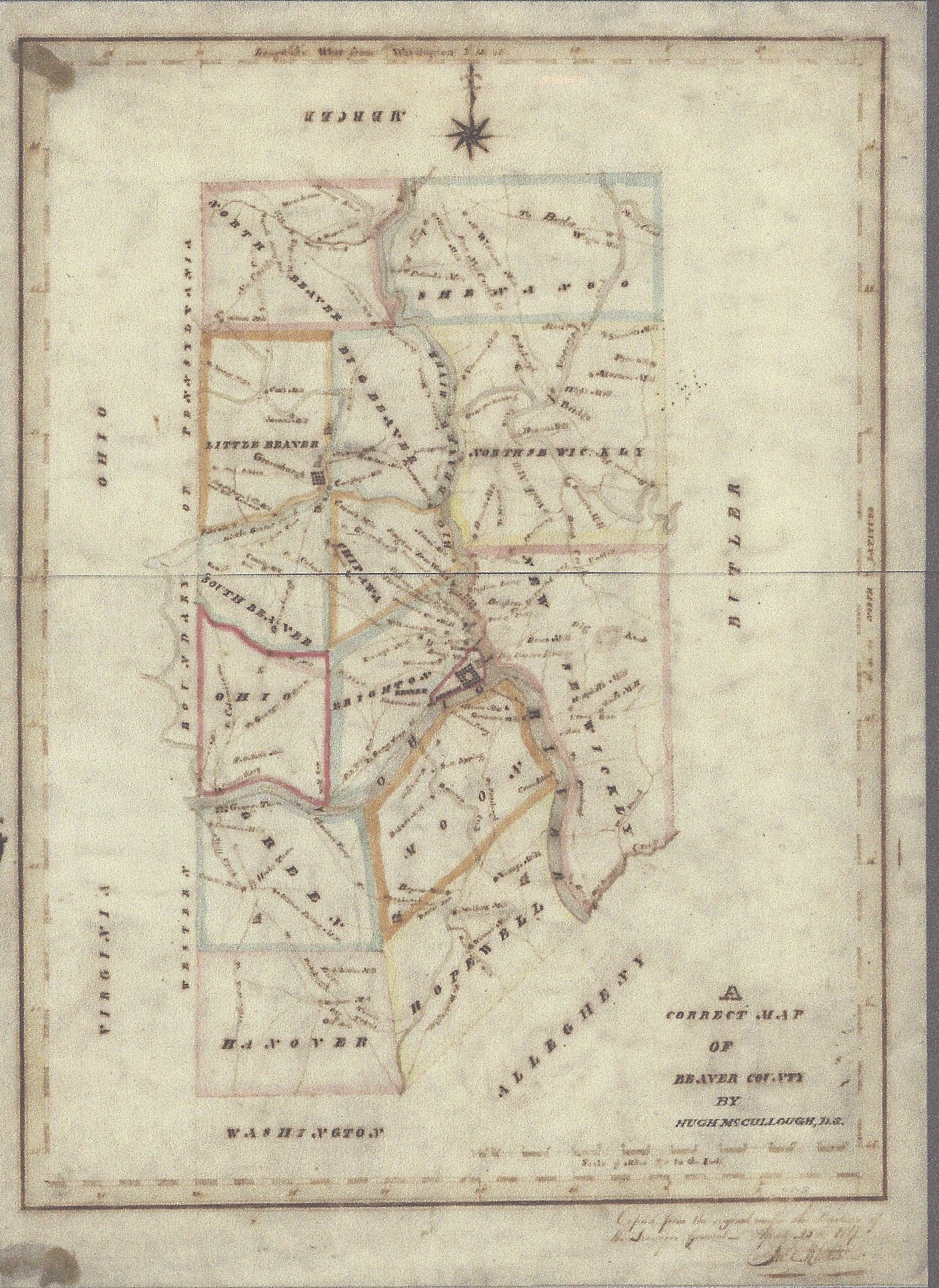
While researching steamboat history within the PA Archives, I found a map of Beaver Co dated July 25, 1817 titled A Correct Map of Beaver County by Hugh McCollough, DS.
To me the interesting finds on the map are the labels attached to road and trails. There are two lines identified as “to George Town” and two eminating lines from Georgetown “to Pittsburgh” (Pittsburgh Grade Road) and “to Washington” (Catfish Camp Trail).
There is no Midland nor Aliquippa on the map. Beaver is on the map. But no roads are labeled “to Beaver”. The map maker evidently viewed George Town as an important cross roads or cross trails and entry into the Northwest Territory. Before 1785, the Ohio River had been the recognized boundary between the United States and Indian territory.
Check it out. Beaver Co Map 1817.
The link to the original Melish-Whiteside County Map at the PA Archives.
Hugh McCollough, a vet of the War of 1812, died in 1841 and was buried in the Georgetown Cemetery.
Copyright © 2015
Francis W Nash
All Rights Reserved
No part of this website may be reproduced without permission in writing from the author.